Showing posts with label seismic profiling. Show all posts

Friday, 17 October 2014

Survey of Lake Sai is finished!


After our adventures with captain Aka on Lake Motosu, we moved to Lake Sai.

Initially, Lake Motosu and Lake Sai formed one large lake system, called Lake Senoumi. Lava flows from the Jogan eruption of Fuji Volcano (864-866 AD) entered Lake Senoumi and divided it into Lake Motosu, Lake Sai and Lake Shoji.
The survey on Lake Sai was planned the day after typhoon Vongfong struck our study area. Within some parts of the lake basin, wind reached peak velocities. After some negotiations, we convinced our new captain to sail. We obtained some interesting results.

(lava flows)
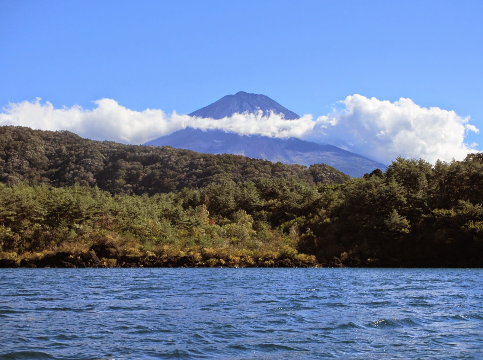
(View on Mount Fuji from Saiko)

(The seismic survey team and the raft)

Six core targets were selected based on the seismic survey. We took cores from the different sub-basins of the lake. It was supposed to be a sunny day. Unfortunately, (as you can NOT derive from the pictures), rain was pouring from start to end. Regardless of these bad conditions, we worked hard to retrieve our sediment cores. Lake Sai is less deep than Motosuko, having a maximum depth of only 70 meters. Nevertheless, with the cold and the rain, it was rather difficult. On two different locations, the corer became stuck in a scoria layer. We assume that this scoria layer can be related to the last known eruption of Fuji Mount (1707).  

Good news: we were able to core the longest record so far, 103 cm!!!

(Preparing for the first core of the day) 


Now we are ready for Lake Kawaguchi, our last task before leaving for the Hamana area.

Wednesday, 15 October 2014

Breathtaking Lake Motosu


Three days have passed since we left Lake Yamanaka and focussed our full attention on breathtaking Lake Motosu (fun fact: the image on a Japanese 1000 yen bill is the exact view on Mount Fuji as seen from the shores of Lake Motosu). After getting a detailed instruction on how to build the raft for seismic surveying on Lake Yamanaka, our team managed to recreate the entire construction in much less time than before. We are getting more attuned to one another and to our equipment! 


Left: 1000 yen bill with image of Lake Motosu and Mount Fuji. Right: our view during seismic surveying on Lake Motosu.

Attaching the raft to the vessel and installing the electronics for seismic surveying. Mount Fuji approves.
Our survey on Lake Motosu started off just perfectly, promising a complete day of seismic fun: clear blue sky, a great boat and its amazing captain, called Aka. We even succeeded in navigating more lines than planned the evening before... Mission accomplished! Based on a first study of the acquired profiles, coring locations for the next day were determined.


Left: cruising on Lake Motosu. Middle: our very sympathetic captain Aka. Right: interim-captain Koen, inspired by the beautiful view.

Weather forecasts for the Mount Fuji area told us to expect rain during the afternoon of our coring day. Therefore we decided to leave the hotel early (6 a.m.) in order to avoid getting soaked. Instead of drizzle, we experienced another beautiful day on Lake Motosu. Our wishlist included cores from six different locations with water depths of around 140 m. For gravity coring we use an over-the-side winch setup via which empty liners are lowered together with their aggravating weights, up to a few meters above the lake floor. Subsequently, liners are released to vertically penetrate the lake bottom as a result of their free fall. Once this is done, the cored sediment can be hoisted to the water surface. Just to give an idea, a full liner with coring device easily weighs up to 25-30 kg. After lifting this weight over a distance of 140 m, time after time, our workout of the day was completed. Empty liner space was cropped, filled up with oasis and caps were placed on top and bottom. Eventually, cores were labelled and stored on the boat deck. Tired but satisfied we left the lake waters and checked out our catch on the beach. Again, mission accomplished!


Over-the-side winch mechanism fixed to our boat with several straps and ropes. Empty liners are on board as well. Ready to core!

Left: ready to throw an empty liner into the water. Right: hoisting a full liner throughout the 140 m high water column.

Left: storing cores on the boat deck. Right: our catch = happy QRN-crew.
Next level, Lake Sai. Make sure to visit the blog within a few days to learn about our future experiences.