After our adventures with captain Aka on Lake Motosu,
we moved to Lake Sai.
Initially, Lake Motosu and Lake Sai formed one large lake system, called Lake Senoumi. Lava flows from the Jogan eruption of Fuji Volcano (864-866 AD) entered Lake Senoumi and divided it into Lake Motosu, Lake Sai and Lake Shoji.
Initially, Lake Motosu and Lake Sai formed one large lake system, called Lake Senoumi. Lava flows from the Jogan eruption of Fuji Volcano (864-866 AD) entered Lake Senoumi and divided it into Lake Motosu, Lake Sai and Lake Shoji.
The survey on Lake Sai was planned the day after
typhoon Vongfong struck our study area. Within some parts of the lake basin, wind
reached peak velocities. After some negotiations, we convinced our new captain
to sail. We obtained some interesting results.

(lava flows)
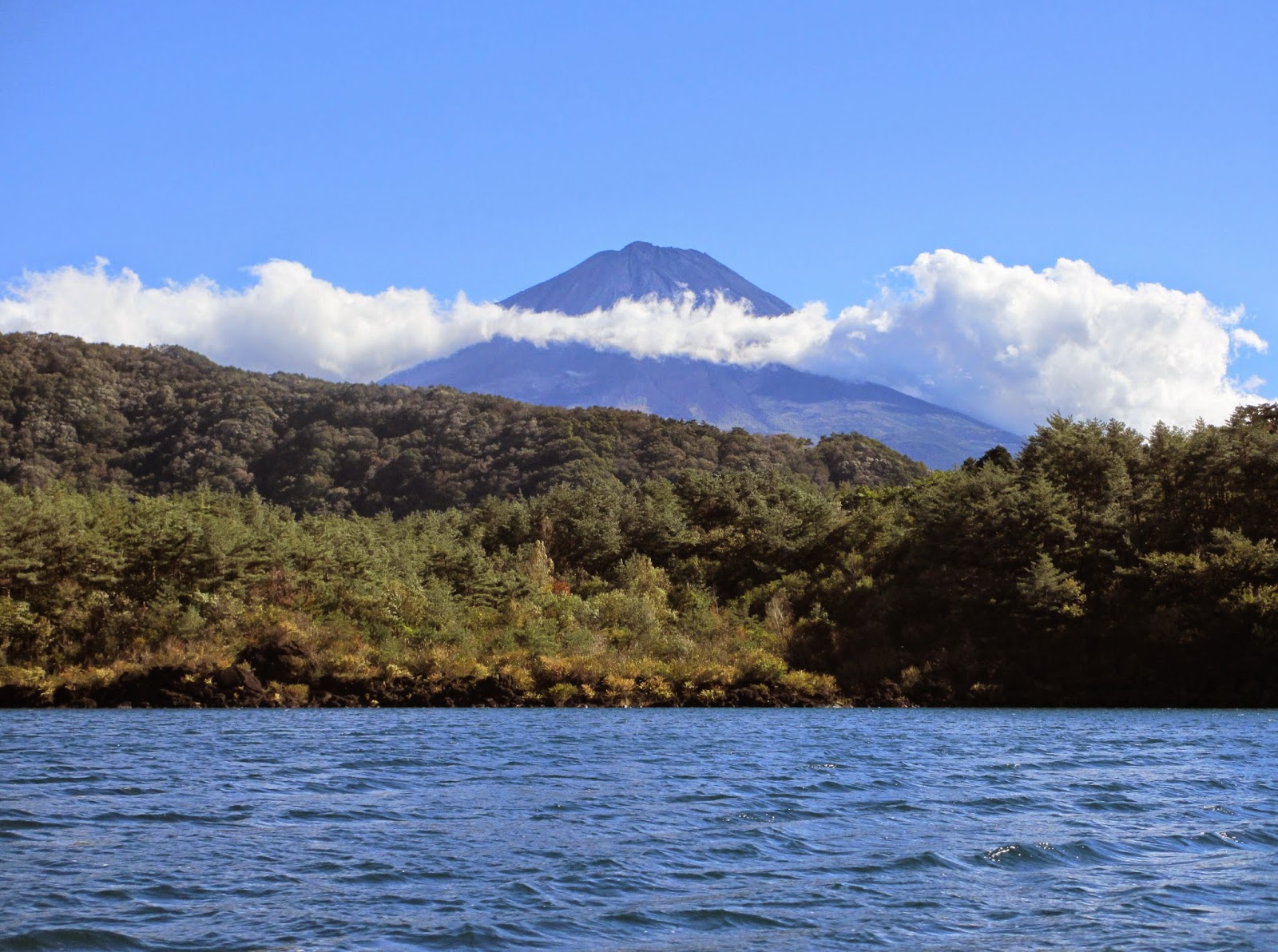
(View on Mount Fuji from Saiko)

(The seismic survey team and
the raft)
Six core targets were selected based on the seismic survey. We took cores from the different sub-basins of the lake. It was supposed to be a sunny day. Unfortunately, (as you can NOT derive from the pictures), rain was pouring from start to end. Regardless of these bad conditions, we worked hard to retrieve our sediment cores. Lake Sai is less deep than Motosuko, having a maximum depth of only 70 meters. Nevertheless, with the cold and the rain, it was rather difficult. On two different locations, the corer became stuck in a scoria layer. We assume that this scoria layer can be related to the last known eruption of Fuji Mount (1707).
Good news: we were able to core the longest record so
far, 103 cm!!!

(Preparing for the first core of the day)
Now we are ready for Lake Kawaguchi, our last task
before leaving for the Hamana area.
No comments:
Post a Comment